Topography
Topographic service provided by Engineering-Geolog Ltd. includes providing important data for directional and elevation mapping, soil and environmental analysis, infrastructure and construction projects. Our expert surveyors utilize the latest topographic surveying technology to help our clients provide efficient and accurate topographic data.


Topographic studies
Topographic surveys are a fundamental stage in the realization of infrastructure and construction projects. We help our clients to prepare their projects as efficiently and with analyzed data as possible. Thanks to quality topographic surveys, projects are planned more efficiently and with analyzed objectives, and important information is obtained to avoid potential problems.
About Service
Topographic surveys are a fundamental stage in the realization of infrastructure and construction projects. We help our clients to prepare their projects as efficiently and with analyzed data as possible. Thanks to quality topographic surveys, projects are planned more efficiently and with analyzed objectives, and important information is obtained to avoid potential problems.

Projects
- Demirchi-Lahij Roads (2018)
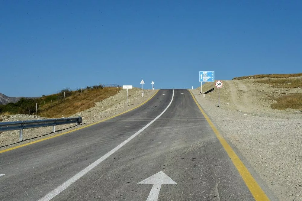
- Widening of Ganja-Gazakh-Georgia border road to 4 lanes (M2)(2019)
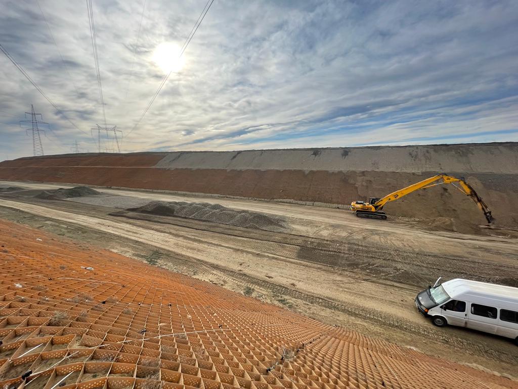
- 16-storey residential building at the intersection of Y.Bakuvi, G.Rashad and B.Dadashov in Baku city.
- Baku city, Yasamal district, M. Hamidov, K.H. Mustafayev and Z. Kazimov-multi-storey residential complex at the crossroads
- Designing establishment of data processing center “Sumqayıt Texnologiyalar Data Mərkəzi” in 37th km on Baku-Guba road
- New Residential Complex for 552 IDP families in Goranboy district (2019)

